STRIDER/FISHCHART

STRIDER/FISHCHART |
|
| The STRIDER system is a low cost integrated survey capability for use in applications such as:
A typical system configuration is as shown in the photo. The system records data from the following sensors: Data is recorded in situ for post processing at a later date. | 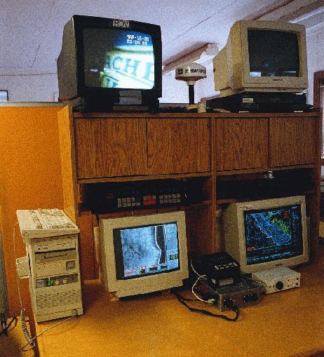 |
| A key element in the STRIDER system is Western Subsea's FISHCHART vector based bathymetric electronic charting system. It acts as the central control element with which all data is georeferenced. Western Subsea creates its own electronic charts for specialized search applications. | 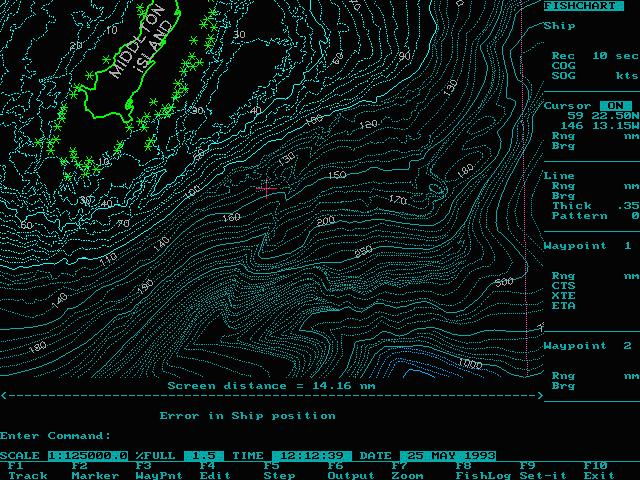 |
|
|
|
|
|
|
|